U.S. Coast Guard IDIQ Support
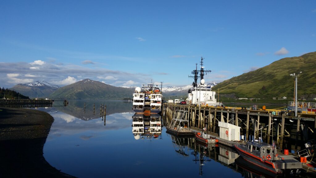
U.S. Coast Guard IDIQ Support Nationwide, United States and Puerto Rico Delivering Coast-to-Coast Geospatial Solutions for the U.S. Coast Guard As a trusted subcontractor to Tetra Tech, one of the Top 10 design firms in the United States, Rochester | DCCM provides mission-critical land surveying and geospatial mapping services to support the U.S. Coast Guard across a broad national footprint. The work is part of an active Indefinite Delivery/Indefinite Quantity (IDIQ) contract that includes 54 project sites spanning 21 states, including Alaska and Hawaii, as well as Puerto Rico. Rochester | DCCM brings advanced geospatial expertise and state-of-the-art equipment to federal assignments. Our teams utilize high-efficiency ground-based LiDAR scanning systems and a large Unmanned Aerial System (UAS) to collect low-altitude LiDAR and high-resolution orthophotography simultaneously. These technologies, combined with our efficient data processing workflows, allow us to deliver highly accurate survey deliverables with industry-leading turnaround times and cost efficiency. Notably, our Inspired Flight 1200A UAS Hexacopter is Blue UAS–listed, making it fully approved for operations over U.S. Government facilities worldwide. In addition to Coast Guard support, Rochester has partnered with Tetra Tech on over 50 other projects throughout Georgia in the past decade, underscoring our deep experience with federal programs and large-scale programmatic partnerships. Services Provided Nationwide Land Surveying & Geospatial Mapping High-Resolution LiDAR Data Collection (ground-based & aerial) Orthophotography & Low-Altitude UAS Imaging Topographic & Boundary Surveys Hydrographic & Coastal Facility Surveys 3D Modeling & Digital Twin Development Geospatial Data Processing & Analysis Federal Program & IDIQ Contract Support
